Philip's Junior School Atlas
19,98 lei
+0,70 lei înapoiSuma de cashback este aproximativă. Suma finală va fi vizibilă la finalizarea achiziției pe site-ul vânzătorului.↓ 3,01 lei din 25 oct.mai ieftin decât de obicei
30 sept.azi
Descriere
- The essential atlas for primary schools with clear and easy-to-follow maps and diagrams
- updated for 2021
- Published in association with the Royal Geographical Society
- Recommended for Key Stage 2 of the National Curriculum
- and all 7-11 year olds
- An excellent introduction to mapping concepts such as scale, direction, symbols, longitude and latitude
- 22-page Britain and Ireland section with clear thematic charts, diagrams and large-scale regional maps
- 22-page section on The World, with political maps
- and thematic treatment of key themes, from volcanoes and earthquakes to transport and tourism
- Continents section with physical and political maps
- Easy-to-follow map references and 1,000-place index The market-leading atlas for pupils at primary schools, Philip''s RGS Junior School Atlas is a stimulating and authoritative first introduction to the world of maps, and is recommended for Key Stage 2 of the National Curriculum. The introductory section describes the meaning of scale, how to measure di
Caracteristici
MagazinAntic Exlibris
Cum primești cashback-ul
Cumperi prin YolozApeși „Cumpără” și finalizezi comanda pe Antic Exlibris.
Confirmat în ~45 de zileDupă ce trece perioada de retur a magazinului.
 Antic Exlibris3,5% înapoi
Philip's Junior School Atlas
19,98 lei
+0,70 lei înapoiSuma de cashback este aproximativă. Suma finală va fi vizibilă la finalizarea achiziției pe site-ul vânzătorului.↓ 3,01 lei din 25 oct.mai ieftin decât de obicei
30 sept.azi
19,98 lei+0,70 lei înapoi
Descriere
- The essential atlas for primary schools with clear and easy-to-follow maps and diagrams
- updated for 2021
- Published in association with the Royal Geographical Society
- Recommended for Key Stage 2 of the National Curriculum
- and all 7-11 year olds
- An excellent introduction to mapping concepts such as scale, direction, symbols, longitude and latitude
- 22-page Britain and Ireland section with clear thematic charts, diagrams and large-scale regional maps
- 22-page section on The World, with political maps
- and thematic treatment of key themes, from volcanoes and earthquakes to transport and tourism
- Continents section with physical and political maps
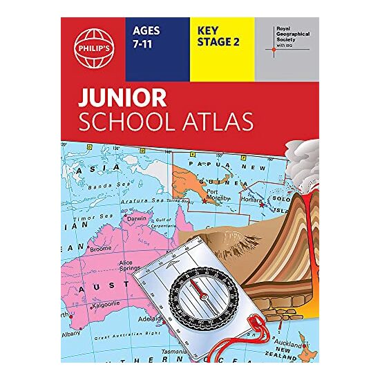
- Easy-to-follow map references and 1,000-place index The market-leading atlas for pupils at primary schools, Philip''s RGS Junior School Atlas is a stimulating and authoritative first introduction to the world of maps, and is recommended for Key Stage 2 of the National Curriculum. The introductory section describes the meaning of scale, how to measure di
Caracteristici
MagazinAntic Exlibris